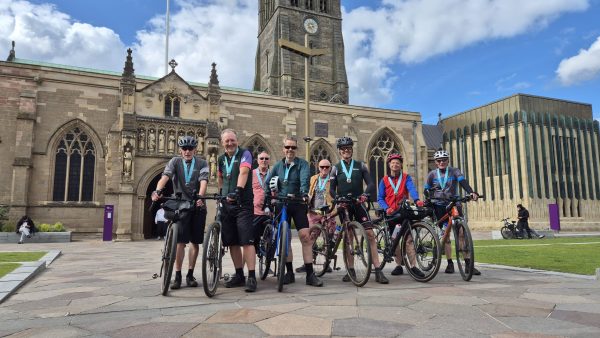
Leicester Riverside Trails
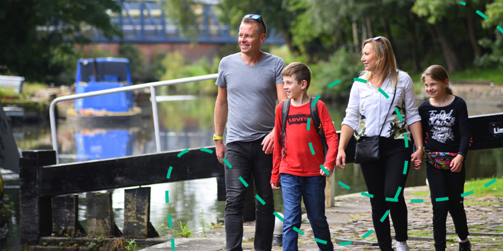
Leicester’s Riverside maps have been produced in partnership with the Canal & River Trust to encourage walkers, cyclists and those travelling on the water to enjoy the area by following the course of the River Soar and Grand Union Canal.
The riverside is connected by an extensive network of footpaths and cycleways that are a great way to visit some of our key attractions or just enjoy the area.
There are three riverside maps you can use to explore the entire length of Leicester’s North, Central and South Riverside.
Map 1 of 3 – Leicester’s Riverside North
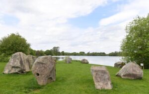
North of Leicester the River Soar meanders through a broad flood plain where gravel workings have been transformed into Watermead Country Park; a beautiful and tranquil open space. Excellent for bird watching, cycling and gentle walks. Look out for the mammoth – a life size representation of a prehistoric riverside resident. In this area you will find the villages of Wanlip, Birstall & Thurmaston that look out over a lowland landscape of the river, meadows, lakes and woodlands. This area is a pleasant transition between the countryside and the city where smaller riverside meadows, woods and open spaces in the Belgrave area contrast with the more urban canal leading into the city.
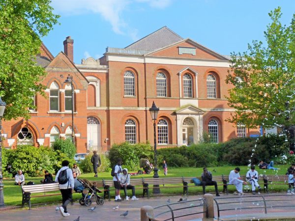
Map 2 of 3 – Leicester’s Riverside Central
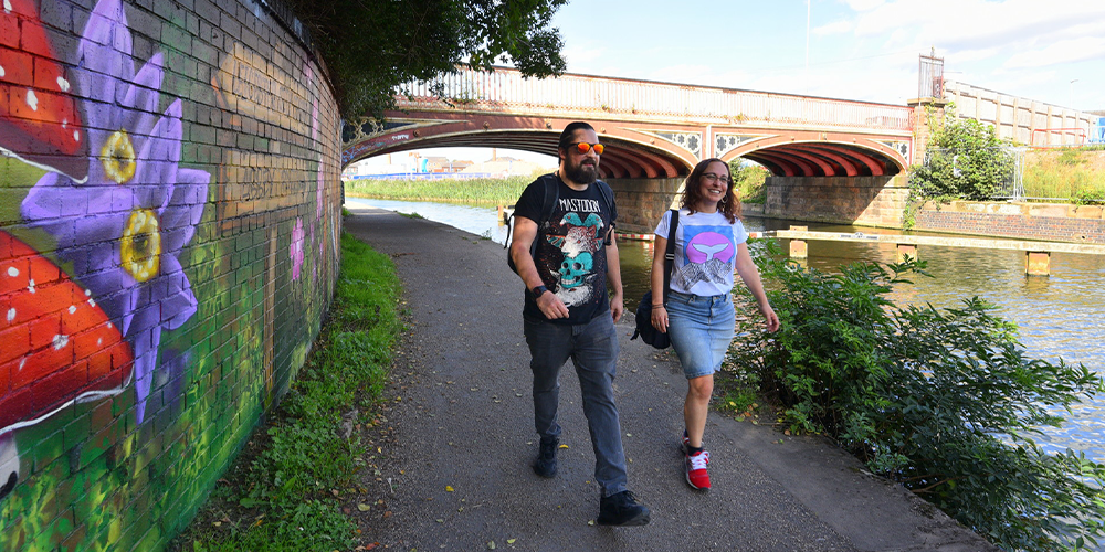
The diverse and dynamic city of Leicester is brimming with history, culture and intrigue: from its ancient roots as one of the oldest settlements in England, Leicester grew over 2000 years from a small pre-Roman settlement on the bank of a marshy river to the multi-cultural and vibrant city it is today. The development of the waterfront area has connected the city to picturesque towpaths and footpaths along the river and canal, making them a great way to explore and enjoy rich wildlife and unique heritage.
The river and canal run their separate courses through this area and reunite at Swan’s Nest Weir. The river flows through Abbey Park, the city’s finest Victorian park and past the National Space Centre, right through the city and out into the countryside again.
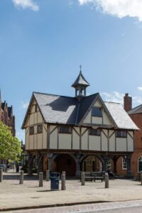
Map 3 of 3 – Leicester’s Riverside South
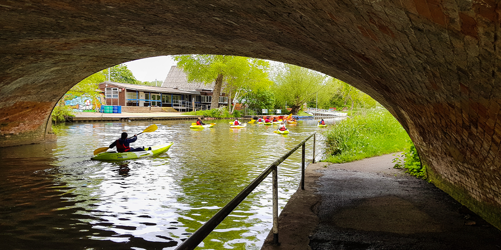
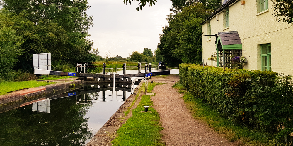
The southern end of Leicester’s Riverside, just over a mile from the city centre, is particularly rural as the canal snakes along this attractive flood plain. Explore along the meandering canal, or the more direct Great Central Way, to Leicester’s largest and richest nature reserve at Aylestone Meadows.
Further south you will discover Everards Meadows which offers 70 acres of beautiful green space to explore on foot or bicycle as it connects to Route 6 of the National Cycle Network. You can hire bicycles here too. The site is also home to Everards Brewery where you can take a brewery tour, book a table in the beer hall or visit the shop for some local beer, gin, classic pub snacks and gifts. Just a stone’s throw away is Fosse Shopping Park where you can find a wide variety of stores.
Keep exploring
-

Blaby Heritage Trails
Blaby Heritage Trails
-

Charwood Walks
Charwood Walks
-

King Richard III Trail
King Richard III Trail
-

King Richard III Walking Trail
King Richard III Walking Trail
-

Leicester Children’s Activity Trail
Leicester Children’s Activity Trail
-
Leicester Faith Trail
Leicester Faith Trail
-

Leicester Heritage Trail
Leicester Heritage Trail
-

Lutterworth Self-Guided Tour
Lutterworth Self-Guided Tour
-
Market Harborough Trails
Market Harborough Trails
-

New Walk Trail
New Walk Trail
-

Old Town Restaurants Trail
Old Town Restaurants Trail
-

Old Town Trail
Old Town Trail
-

Quorn History Trail
Quorn History Trail
-

Roman Leicester Walking Tour
Roman Leicester Walking Tour
-

Staunton Harold Trails
Staunton Harold Trails
-

Street Art Trails
Street Art Trails
-
The King’s End Way Cycle…
The King’s End Way Cycle…
-
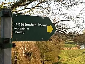
The Leicestershire Round
The Leicestershire Round
-

The National Forest Trails
The National Forest Trails
-

The Newarke Trail
The Newarke Trail
-

The Thomas Cook Trail
The Thomas Cook Trail
-
Watermead Country Park
Watermead Country Park